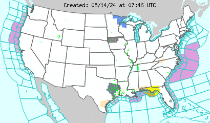
Below is the first short range image. We see the storm beginning to strengthen as it enters the South US.
 Below is the second short range image for 6 hours or so in the future. The low pressure has strengthened and the storm is providing snow to the South.
 Below, another 6 hours forecast, the storm is at its peak for the Southcentral US. The storm is now dropping loads of snow, up to 8 inches, in some places in Oklahoma.
For our final short range image, we see the storm moving away from the Southcentral US, while some areas are still getting hit hard.


To see when this storm will strike, see the above short range forecasts.

No comments:
Post a Comment